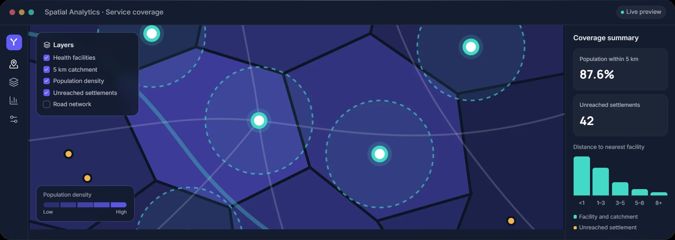
Concept project
NGOs & Development
Field Survey & Spatial Analytics
A platform that maps field survey data as it arrives and analyzes coverage, gaps and hotspots across program areas.
PostGISGeoServerLeafletPython
View case studyMany decisions depend on location: where to deploy resources, which communities are underserved, how assets move. We build geospatial systems that bring spatial data together, analyze it, and present it in interactive maps that support confident decisions.
Interactive maps, spatial analytics and location intelligence that reveal where things happen and why.
Browser-based mapping applications with layers, search, editing and analysis tools.
Location combined with operational data to reveal patterns, gaps and opportunities.
Map-centred dashboards that link spatial views with charts and indicators.
Real-time tracking of vehicles, assets and field teams, with history and geofencing.
Coverage analysis, catchment modelling, clustering and route optimization.
Structured spatial databases, data pipelines and standards-based map services.
Identify populations beyond the reach of health facilities, schools or service points.
See where vehicles and equipment are and how they are used over time.
Visualize field-collected data on maps as it arrives from mobile teams.
Evaluate candidate locations against demographic, access and infrastructure criteria.
OGC-compliant services such as WMS and WFS keep your data portable across GIS tools.
Geometry, projections and attributes are validated before they inform decisions.
Map interfaces designed so decision-makers can use them without GIS training.
Concept projects that illustrate how this service comes together in a complete solution.
A platform that maps field survey data as it arrives and analyzes coverage, gaps and hotspots across program areas.
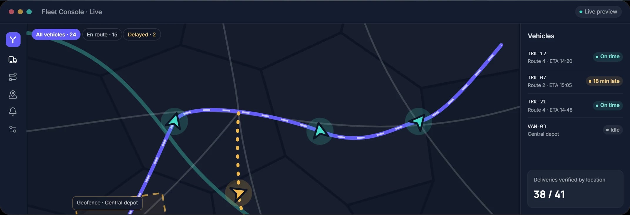
Real-time GPS tracking with geofencing, trip history and route analytics for distribution fleets.
Tell us what you want to achieve with GIS & Geospatial. We will review your goals and suggest a practical way forward.